Castle and Cal Ganxo
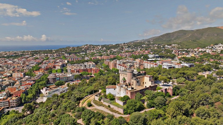
Good choices for families, beginners and a first view of the hills.
Local guide · mountains and nature
From the castle and Cal Ganxo to La Morella, Garraf and Sitges: short walks, mountain crossings and practical safety advice.
The other side of Castelldefels
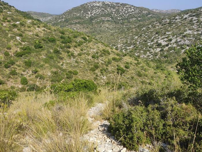
Castelldefels is more than a long beach. The city lies at the entrance to the Garraf massif, a landscape of white limestone, sinkholes, caves, shafts and Mediterranean scrub. Pine trees and the distinctive margalló, or Mediterranean fan palm, grow among the rocks.
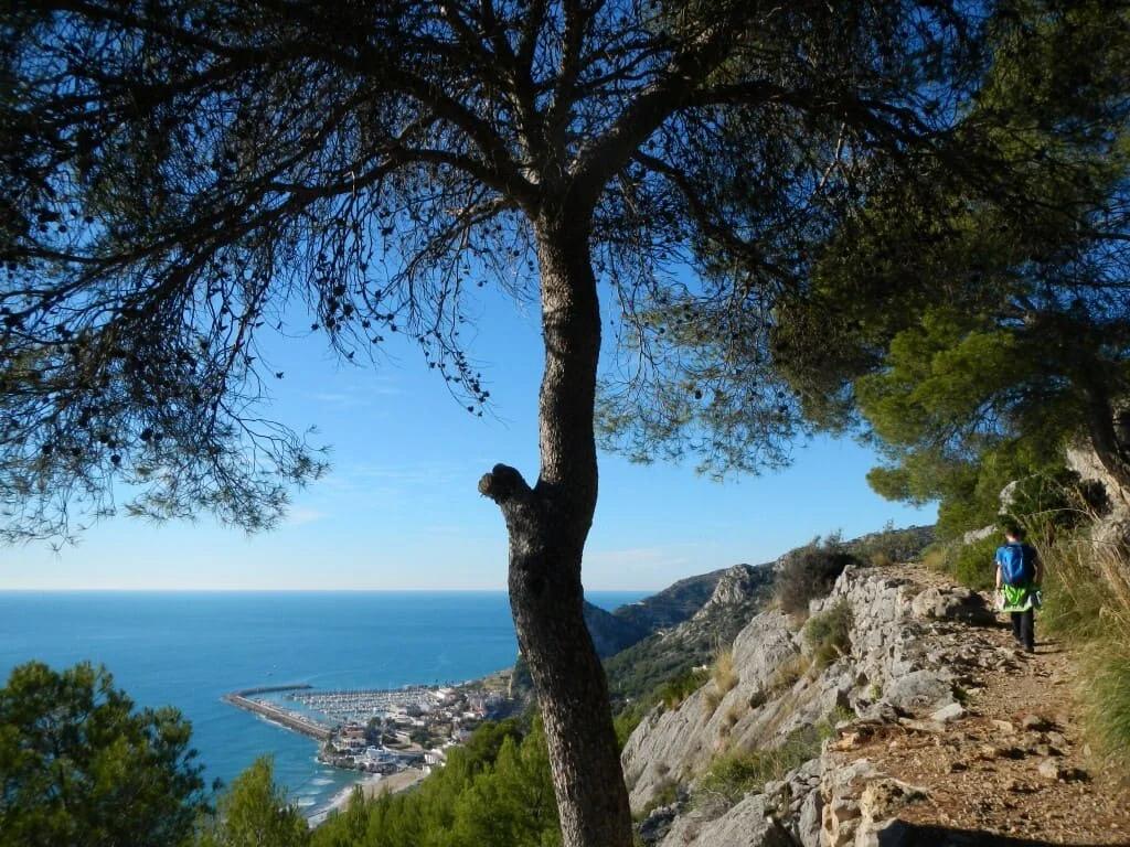
From town, walkers can reach the hills around Cal Ganxo, the Vall de la Sentiu and Turó del Fanxó. More ambitious hikers can continue into Garraf Park, descend to the coastal village of Garraf or cross the mountains all the way to Sitges.
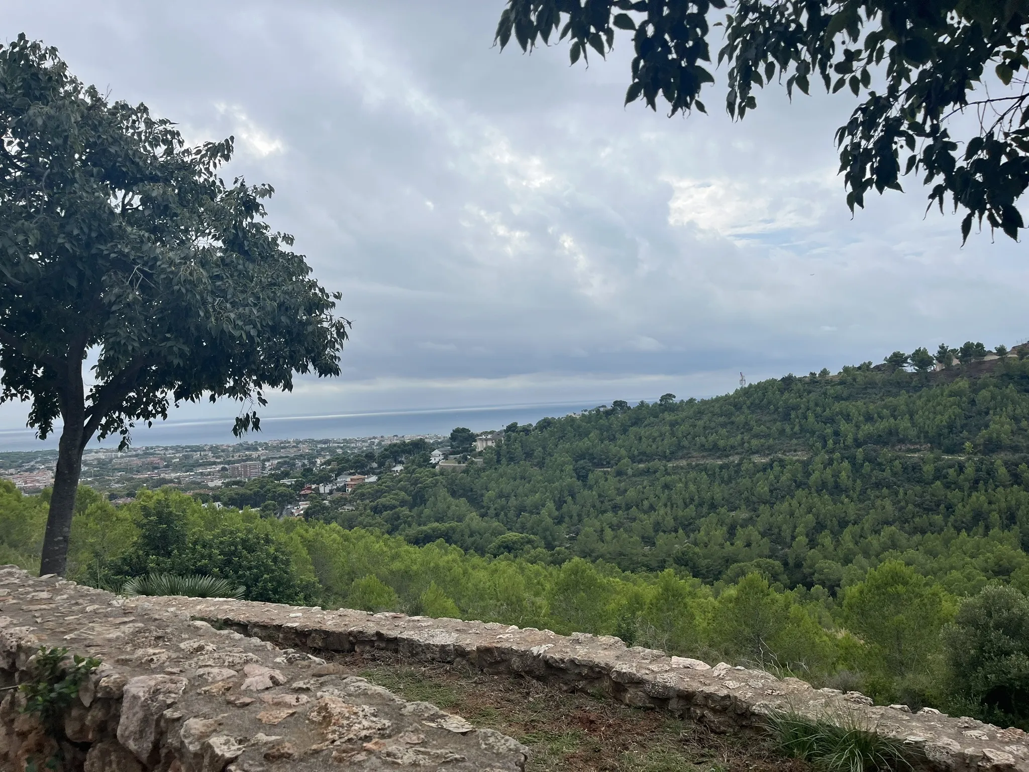
The highest point is La Morella, at approximately 594 metres. From its summit, hikers can see the Garraf massif, the Llobregat delta, Castelldefels, Barcelona and the Mediterranean coast.
Choose your route
Good choices for families, beginners and a first view of the hills.
Garraf’s highest point and a major coastal viewpoint.
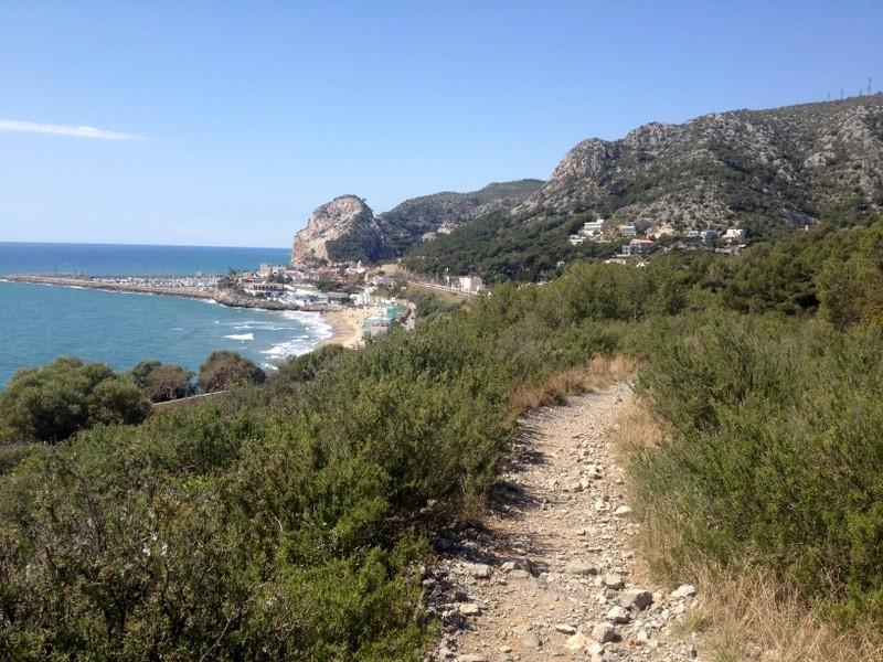
Linear routes with practical train returns.
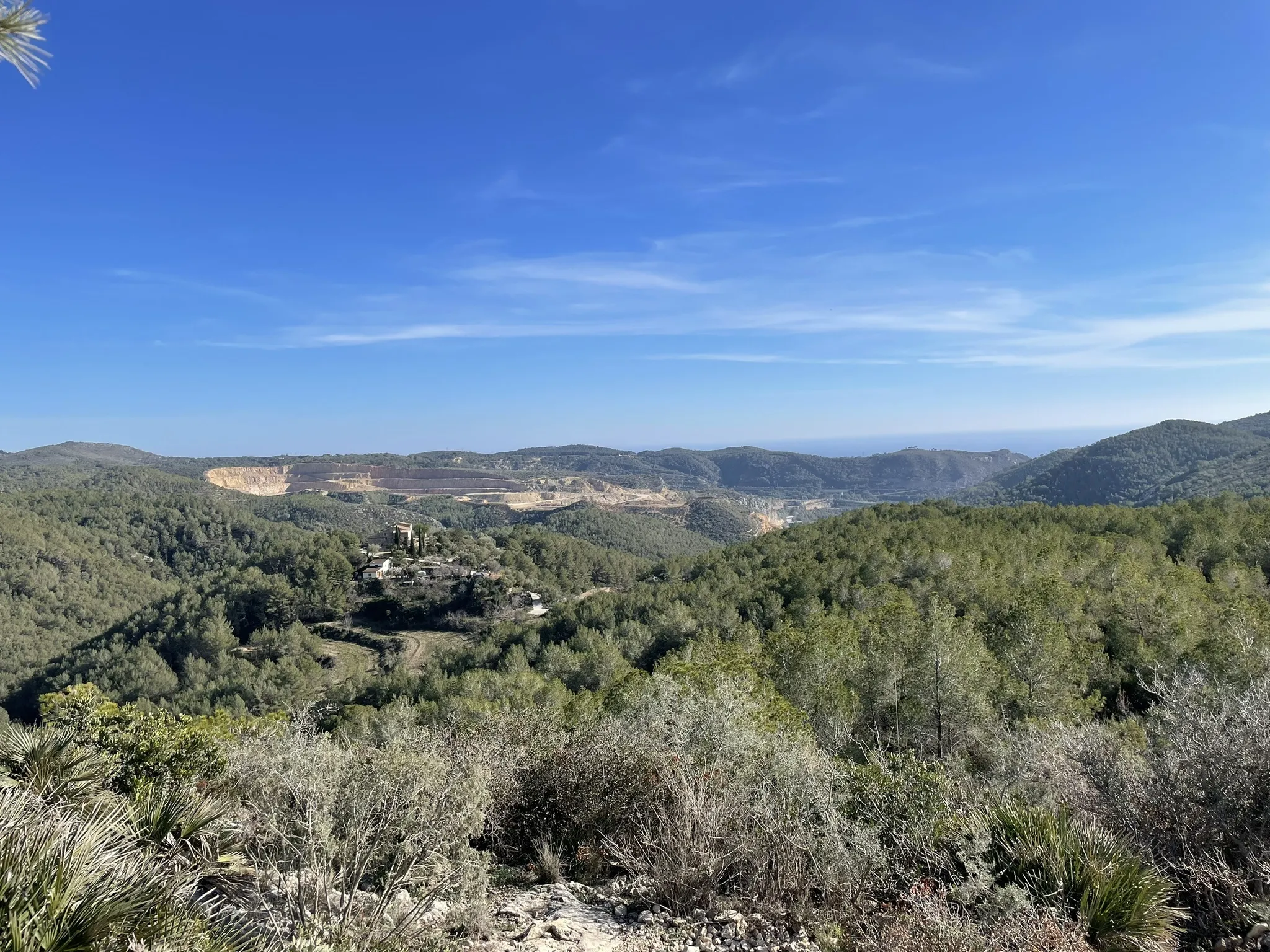
Scrub, fan palms, migrating birds, limestone and shafts.
The best routes around Castelldefels and Garraf
Choose according to your time, fitness and transport. For linear crossings, download the track and plan the return before setting out.
Families, beginners and limited time
The simplest introduction to the hills of Castelldefels. The trail climbs gradually towards the castle and combines vegetation, local history and elevated views.
This is not a mountain expedition, but it is an excellent first walk for families. Check the current municipal route before departure.
Route information ↗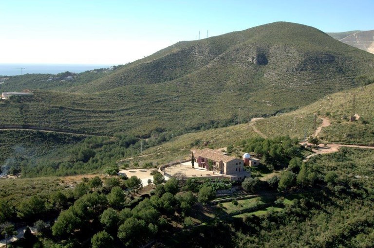
Families and short nature walks
Cal Ganxo is the main gateway from Castelldefels into the Garraf landscape. Three interpretive routes explore the immediate surroundings.
The routes have panels and signs, but the distances come from municipal descriptions. Confirm the current condition of signs and paths at Cal Ganxo.
Route information ↗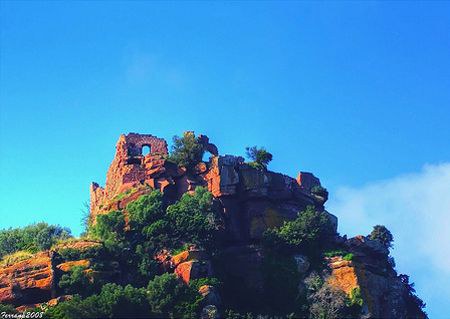
Regular walkers
A circular route on the quieter northern side of Castelldefels, following the Vall de la Sentiu and Riera de Canyars towards the Ermita de Bruguers.
Treat it as a route concept: use a current map or GPS track because crossings and signs can change.
Route information ↗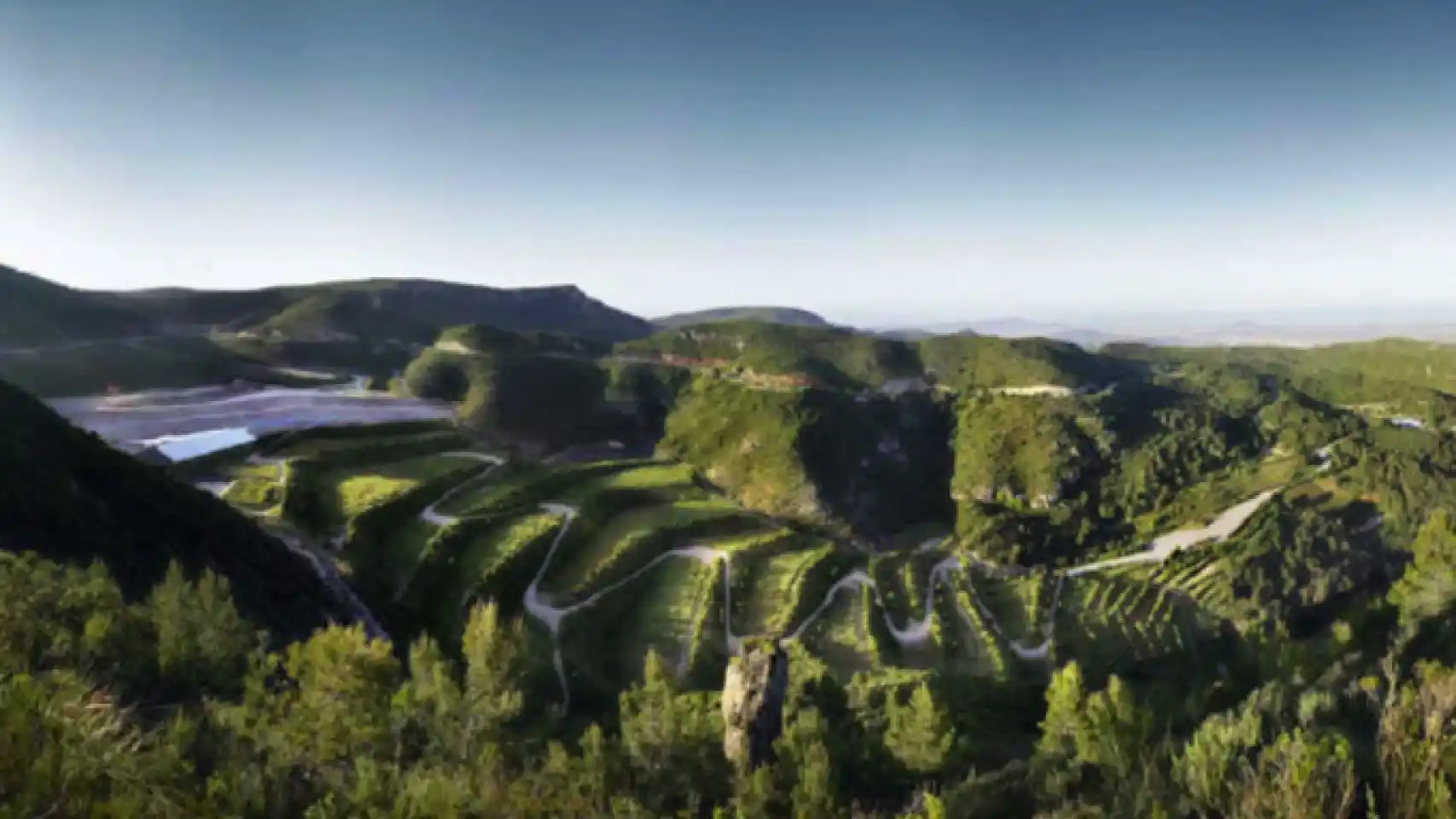
A summit without a full-day crossing
The most direct official route to the highest point of the Garraf massif, through the park’s characteristic karst terrain.
The roughly one-kilometre section between La Pleta and Pla de Querol follows a surfaced road with traffic and limited visibility; the park recommends doing it by vehicle. La Pleta has free parking and an information office, normally open 08:00–15:00.
Route information ↗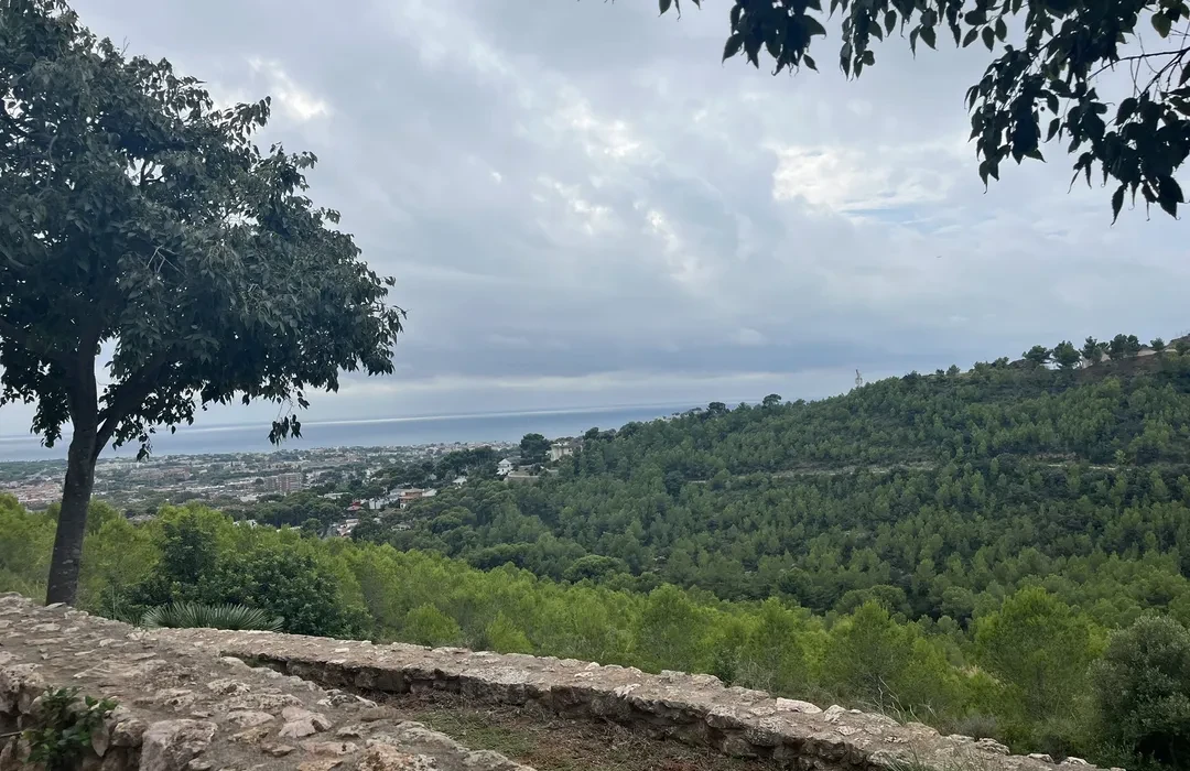
Experienced and fit hikers
One of the finest complete crossings starting in Castelldefels: climb through Cal Ganxo and Turó del Fanxó, continue towards La Morella and descend to Garraf.
This is based on a community-recorded track rather than one official park itinerary. Download a current GPX and compare it with the official park map.
Route information ↗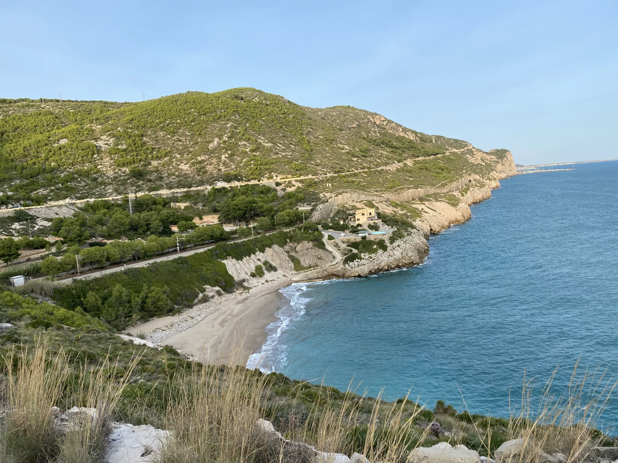
An easier linear mountain descent
The official Camí de les Costes descends from La Pleta through characteristic Garraf vegetation towards the sea and Garraf village.
Stay away from quarry edges and cliffs because of rockfall and landslide risks. Plan two cars, a taxi or a train return from Garraf.
Route information ↗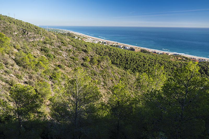
A full-day linear hike
A classic walk through the coastal Garraf massif. From Garraf it heads towards Castellet de Garraf and Can Lluçà, crossing scrub, woodland, vineyards and old farmland before Sitges.
There is limited shade and little chance to obtain water after leaving Garraf. Carry everything needed for the complete walk.
Route information ↗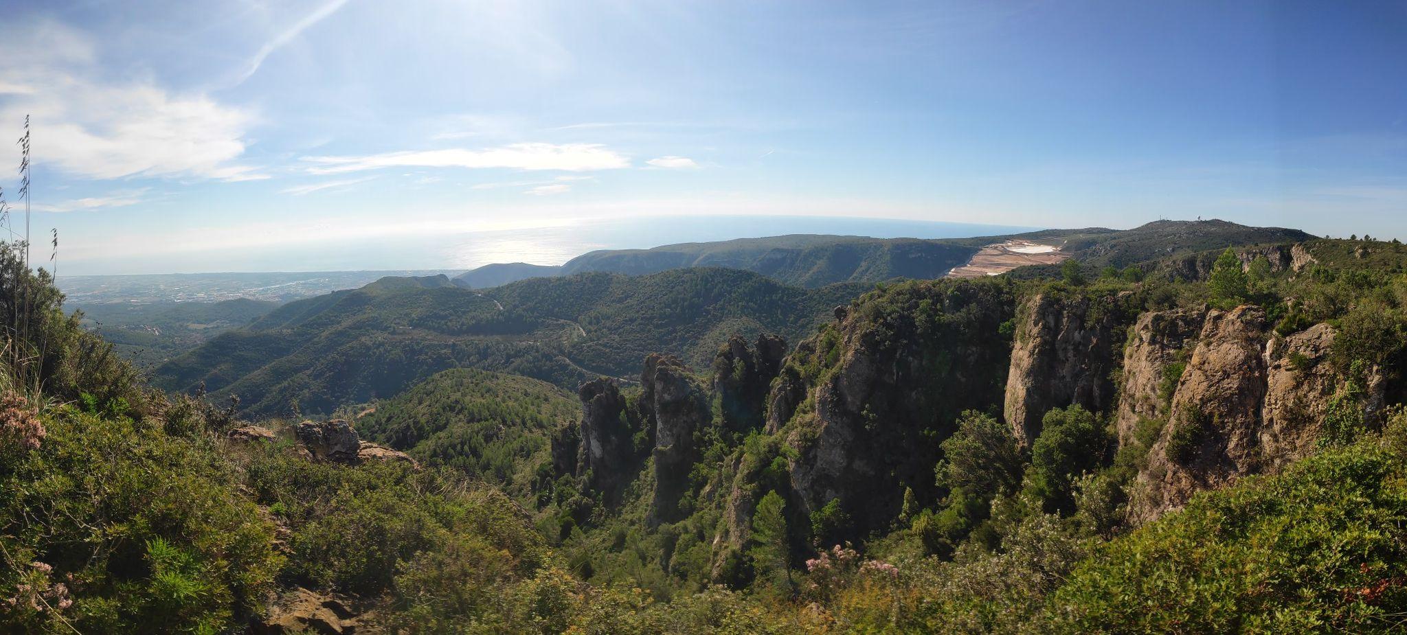
Strong hikers wanting a long challenge
A point-to-point route starting at Platja de Castelldefels railway station, following the seafront to Port Ginesta and joining the GR 92 towards Sitges.
Take particular care when crossing the coastal road near Port Ginesta. Download a current track and plan an escape option.
Route information ↗Monthly temperatures in Castelldefels
These historical average daily highs and lows come from observations at Barcelona Airport, about eight kilometres from Castelldefels, between 1992 and 2021. Exposed ridges and La Morella can be cooler and windier; sheltered limestone valleys can become surprisingly hot.
The climate source is a guide, not a forecast. Check the weather and fire risk before a long route.
Route information ↗| Route | Average high | Average low | Hiking conditions |
|---|---|---|---|
| January | 14 °C | 5 °C | Very good; bring a light jacket |
| February | 15 °C | 6 °C | Very good |
| March | 16 °C | 8 °C | Excellent |
| April | 19 °C | 10 °C | Excellent |
| May | 22 °C | 14 °C | Excellent, but midday sun gets stronger |
| June | 26 °C | 18 °C | Good early in the day |
| July | 28 °C | 21 °C | Often too hot for long exposed routes |
| August | 29 °C | 21 °C | Often too hot; high fire risk possible |
| September | 26 °C | 18 °C | Good in the morning; warm at midday |
| October | 22 °C | 14 °C | Excellent |
| November | 18 °C | 9 °C | Excellent |
| December | 15 °C | 6 °C | Very good |
The best time of year for hiking
The best general hiking period is October to May.
Usually the most comfortable months, with moderate temperatures, enough daylight and a more colourful landscape than summer.
Winter is also very suitable for hiking, with mild daytime temperatures near the coast.
Long walks remain possible, but start early.
The least suitable months for long interior crossings.
Other outdoor sports in Garraf
The massif also supports cycling, trail running, birdwatching and caving, provided visitors follow park rules.
Garraf has many forest tracks and unsurfaced roads, but cycling is not allowed on every path.
The Rat Penat climb near Castelldefels and Port Ginesta is a well-known Catalan coastal challenge.
Cal Ganxo, Turó del Fanxó and the GR 92 suit trail running.
La Morella and Canòpolis are useful viewpoints for migrating birds using rising air currents above the massif.
The limestone massif contains many caves and shafts, but they should never be entered casually.
Essential safety advice
Garraf does not reach alpine elevations, but it should still be treated as mountain terrain.
Sea and mountains in one destination
Castelldefels’ great attraction is the contrast. You can start the morning beside the Mediterranean, climb through aromatic shrubs and white limestone hills, enjoy panoramic Garraf views and finish in Garraf, Sitges or back on the beach. Whether you want a family walk, a summit, a demanding crossing, a cycling climb or an afternoon of wildlife, the mountains reveal a completely different side of the city.